News & Notices
- Thoroughfare Plan Project 2026Thoroughfare Plan Project 2026
- 8/13/2025 Plan Commission Signed Minutes
- RFP Thoroughfare Plan 2025


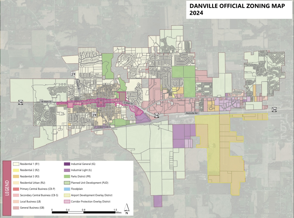
The Planning Department is responsible for all activities concerning the use and development of land within the Town's incorporated limits and is responsible for current planning, long-term planning, zoning compliance, and related administrative duties. These functions help to ensure and facilitate high-quality and orderly development, the protection of property values, and the protection of the public health and general welfare of the community. The Danville Comprehensive Plan, the Official Zoning Map, the Unified Development Ordinance, Petitions, and administrative functions are the tools used to implement these goals.
Town of Danville Strategic Plan
American Planning Association- Indiana Chapter
Plan Commission Rules of Procedure
* Additional Information regarding the function of the Plan Commission can be found in the Citizen Planner Training Manual on the Indiana Planning Association's website.
The Planning Department is committed to serving the public regarding the regulation of land use and development in accordance with the Town code and applicable laws. Staff assists and provides recommendations on:
Types of Approvals
There are a variety of development approvals that must be obtained prior to any construction:
Rezones :
This process is used to apply a different zoning designation and the associated development standards to a property. This process can be for facilitating a particular development proposal or protecting sensitive areas.
The Planning Commission hears these petitions and sends a recommendation to the Town Council, which has the authority to approve or deny these requests. Once properties receive zoning approval, projects proceed to the Platting and Development Plan phases prior to development.
Development Plans :
This process is for projects that already have a legal lot and appropriate zoning. A thorough and detailed examination of the project elements is required before the project is released for site construction and building permits The Planning Commission has the authority to approve these requests.
Platting :
This process establishes a legal lot. There are two stages: primary plat and final plat. The primary plat establishes project boundaries, the overall number of lots, access points, and rights-of-way and easements. The final plat shows each lot's boundaries, roadway design, lot dimensions, and all legal information necessary to determine compliance with state regulations. Once recorded, this establishes each lot's legal boundaries and allows for building to occur.
The Planning Commission has the authority to approve these requests.
Boards, Commissions, and Committees:

49 N Wayne St.
Danville, IN 46122
(317) 745-4180
Mon - Fri 8:00 AM to 4:00 PM
Site Design and Content Management by
CORE Business Technologies